
Look Up Woodland Neighbors
A Woodland neighbor lookup is an immediate-block workflow. The GIS viewer can show the subject parcel and surrounding shapes. The Yolo Assessor can supply assessee, mailing address, APN, values, exemption, and latest recorded document for a selected parcel. A qualified Walking List can be sorted by precinct, street, and house number. Neighborhood Watch can organize blocks without publishing a resident roster. Polk criss-cross directories can show older listed occupants. These sources do not collapse into one complete list.
| Source | What It Shows About a Block | Access |
|---|---|---|
| Woodland GeoPortal / Yolo GIS | Adjacent parcels, boundaries, districts, and available layers | Public map |
| Yolo Assessor roll | Assessee, mailing address, APN, values and exemption per parcel | Counter or phone; three parcels per call |
| Yolo Walking List | Registered voters by precinct, street, and house number | Qualified application and restrictions |
| Neighborhood Watch | Block organizing contact and program information | Police program; no public roster |
| Polk criss-cross volumes | Past listed occupants by address and year | Yolo Archives appointment |
Owners and occupants are different populations. A mailing address can point away from the parcel. A homeowner exemption is not a current household list. A voter file excludes unregistered people and protected participants. A historical directory may list only one adult or omit a year. The neighbor lookup is strongest when it states the source, date, and limit for every parcel.
Woodland Radius Search Choices
Map browsing is the clearest way to see a block, but Yolo’s assessor fee schedule lists a $90 radius search product. That product is different from a free GIS view. GIS shows shapes, boundaries, and layers. The Assessor supplies parcel-level roll fields. A radius result should be dated and checked against the selected parcel because a radius can cross a street, district, ZIP, or municipal line.
For a smaller block, click parcels one at a time and keep the subject APN separate from each neighboring APN. For a larger area, ask the Assessor what the radius product contains before paying. Do not assume that a radius search returns all people at each address. The roll concerns assessed parcels and mailing fields.
Woodland Situs and Mailing Clues
Every block lookup should preserve two address types. Situs is the physical parcel location used by GIS, permits, and the Assessor. Mailing address is where tax or correspondence mail is sent. When they match, the result may suggest owner occupancy. When they differ, it may indicate an owner elsewhere, a trust, an entity, or a management arrangement. Neither field lists every person who lives at the parcel.
Write the exact values and the date checked. Use the latest recorded document to connect a parcel to a deed, but treat a deed grantee as an owner clue rather than a household fact. For a city-versus-county question, check the municipal boundary before using Woodland permit or public-record channels.
- APN
- The Assessor’s administrative parcel key; it can change after a split or merger.
- Situs address
- The physical location of the parcel or structure.
- Mailing address
- The destination for tax or official correspondence, which may be elsewhere.
Woodland Street-Sorted Voter Data
The Yolo Walking List is the lawful street and block channel for a qualified request. The 2026 voter information form describes a product sorted by home precinct, street, and house number, with home address, party, phone when available, and seven calendar years of participation. It also requires a permitted purpose and promises against unauthorized resale, loan, overseas or electronic release, and internet publication.
The separate non-confidential elections form lists a $13 individual non-confidential lookup, street indexes, precinct and district relationships, GIS shapefiles, and map products with different charges. These are regulated voter products, not a public Woodland neighbor directory. Registered voters are only one part of a block, and Safe at Home records are excluded.
For a personal status check, use the authenticated state lookup. For a block question, use the county form only if the purpose qualifies and the restrictions can be followed.
Map a Woodland Block
The adjacent-parcel method starts with one known address and walks outward by geometry. Use the Woodland GeoPortal or Yolo County GIS to locate the subject parcel. Zoom until lot lines and nearby parcels are clear. Select every parcel sharing an edge, then inspect across-street parcels by map pan. Cross-reference each APN with the Assessor. Do not infer names from a map label, geocoder, or neighboring address.
- Search the address in the current Woodland or Yolo map viewer and record the subject APN.
- Click each parcel sharing a boundary and note the APN, situs, and available map layers.
- Check the Assessor for each selected parcel, separating assessee, mailing address, and exemption fields.
- Use a qualified voter product, permit inquiry, or historical directory only when the source and purpose fit.
- For the full named street, switch to the Woodland street directory walkthrough.
GIS establishes adjacency and jurisdiction. Ownership comes from the Assessor. A parcel map does not show renters, utility customers, or every person who visits a home.
Woodland Neighborhood Watch
Woodland Police reported 32 active Neighborhood Watch groups covering more than 700 households on its community-policing page. The program can connect people who want to organize a block, but the public source does not publish member names or a household roster. It is a community contact channel, not a searchable resident directory.
The official Neighborhood Watch page is linked before the screenshot. Use it to learn how the police-supported program works and how a block can participate without scraping or inferring private membership.
Review Woodland Neighborhood Watch
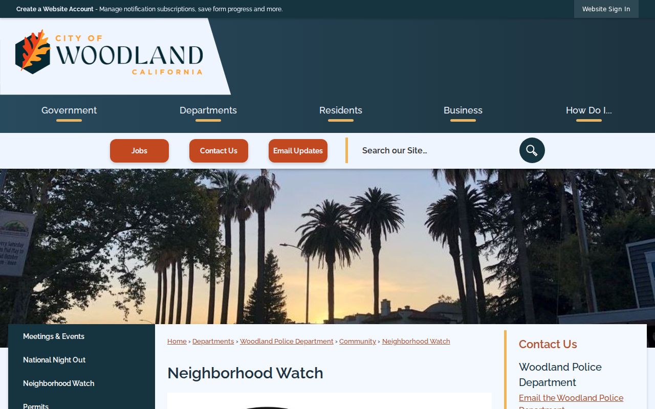
Community organizing can supply a way to meet neighbors directly. It does not change what the Assessor, voter file, or map is allowed to show.
Woodland Block Contacts
No official umbrella HOA or public neighborhood-association membership directory was located in the reviewed research. Community rosters, congregational lists, club memberships, and private association contacts remain with each organization unless it publishes a public contact channel. A neighbor lookup should state that absence rather than invent an association name or scrape a private list.
| Neighborhood Watch | Woodland Police program page; organizing information, no public member roster documented |
|---|---|
| City public records | Woodland CPRA channel for existing city records, with exemptions and redaction |
| Yolo Archives | Appointment research for historic neighborhood, map, newspaper, and family material |
| Private associations | Contact the organization directly if it publishes a lawful public channel; membership is not inferred from an address |
The community-directory layer of Woodland neighbors complements parcel research without turning a private roster into a public search target.
Woodland Blocks Across Time
A current block can be reconstructed historically through Polk street sections, Sanborn maps from 1926–1961, newspapers, deeds, tax rolls, and the 1940 or 1950 census. Polk can name a listed occupant. Sanborn can show the building footprint and number. A deed can show an owner. A census can show household relationships. These layers overlap, but they do not prove the same thing.
Use the Archives when a map, directory, or old assessment roll is not online. Address continuity is the hard part. Rural-route conversion, subdivision plats, street extensions, and parcel splits can make the same block look different by decade. Keep old and new APNs, legal descriptions, and street forms in the notes. The full street chain belongs on the Woodland streets page; the immediate block and community layer belong on the neighbor lookup.
Historical neighbors are listed adults in a dated source, not a claim about every household. Compare the same block across the nearest available Polk volume, census year, and Sanborn sheet. A changed footprint or missing address may explain a gap before any name search does.
Official Versus Commercial Neighbor Clues
Commercial neighbor tools can look convenient, but their compiled records may be stale, paid, merged across same-name people, or unclear about source and date. Official Woodland and Yolo channels are slower but show the custodian, access rule, and record type. Compare the categories before choosing a source.
| Source category | Strength | Limit |
|---|---|---|
| GIS parcel viewer | Shows adjacent geometry and jurisdiction | Does not establish occupants |
| Assessor roll | Names assessed owner and mailing fields | Not a complete household list |
| Qualified voter product | May be street-sorted for an approved purpose | Restricted; excludes many residents |
| Compiled commercial tool | May combine many clue types | Source, freshness, cost, and identity can be unclear |
Use official records to confirm a meaningful clue. Never use a compiled result to bypass Safe at Home, sealed records, voter restrictions, or anti-harassment limits.
Woodland Neighbor Lookup Limits
Renters, household members, children, unregistered residents, utility customers, delivery records, and people physically present are not supplied by the public parcel roll. California Safe at Home can shield qualifying participants with a substitute address and confidential voter registration. DMV data is restricted under the federal Driver’s Privacy Protection Act. Juvenile, sealed, adoption, and protected court records remain limited even when a case or event exists.
California voter data is limited by Elections Code §§2188 and 2194 and related regulations. A Walking List or individual lookup requires a qualified application, stated purpose, security attestation, and restrictions on transfer or publication. A commercial neighbor tool may merge stale public and private data, but it is not an official substitute and cannot override a confidentiality rule. Use the custodian’s correction path when a record is wrong.
Lawful use. Woodland neighbor lookups are for lawful personal research, getting to know a block, reconnecting, and safety awareness. Using public data to watch, stalk, harass, threaten, or intimidate anyone can violate California Penal Code §646.9 or §653.2.