
Woodland ZIP Codes and Coverage
Woodland is served by two standard ZIP codes in the official local sources: 95695 and 95776. The city’s street and ZIP list ties a code to an address range, which is more precise than assigning a ZIP to a whole neighborhood. Historic core, downtown, and much of west and central Woodland commonly use 95695. East and southeast growth, including Spring Lake and newer high-number ranges, commonly uses 95776. The table describes the verified local pattern without pretending to be an exhaustive delivery directory.
| ZIP Code | Areas Covered | Post Office | Notes |
|---|---|---|---|
| 95695 | Historic core, downtown, west and central ranges; Main 1–1199 and Lincoln 1–1199 examples | Woodland delivery; verify station with USPS | Some delivery geography extends beyond city limits |
| 95776 | East and southeast growth, Spring Lake, Liberty 2000–2799 and other newer ranges | Woodland delivery; verify street-specific station | Not a separate city; ranges can be incomplete |
No verified PO-box-only or unique-institution ZIP for Woodland appears in the reviewed sources. A 95695 mailing address can reach Plainfield or rural delivery geography outside the municipality. Spring Lake streets are marked with some ranges “to be determined.” The ZIP code directory therefore starts with a complete address, not a street name alone.
Woodland 95695 Record Strategy
For 95695, start with the historic core, downtown, west, and central ranges shown in the city list. The examples include Locust Street 1–199, Los Robles Way 200–499, Lewis Street 600–899, Madera Court 200–299, Madrone Way 1400–1499, Main Street 1–1199, Mariposa Street 1–399, and Marshall Avenue 100–899. These ranges demonstrate how the local ZIP code directory works; they are not an exhaustive street register.
Older 95695 addresses may align with early Polk directories, Sanborn sheets, newspaper microfilm, historic assessment maps, and deeds. That is an era clue, not proof about the current resident. Verify the exact address with USPS and the city list, then use APN and legal description to connect a current parcel with older records.
Woodland 95776 Record Strategy
For 95776, the city list points toward east and southeast growth, Spring Lake, and newer high-number ranges. Examples include Lola Drive 600–699, Losoya Drive 900–1899, Madison Place 1300–1399, Marston Drive 2100–2399, Matmor Road 1–1799, Maxwell Avenue 1900–1999, and Liberty Drive 2000–2799. Some Spring Lake streets still show ranges to be determined, so a ZIP code directory search must stay address-specific.
Newer subdivisions are more likely to need plats, permits, GIS, and recent recorder documents before a historical directory search will work. The city’s GeoPortal and Yolo GIS can establish parcel context. Community Development can supply selected permit inquiry information. The Assessor and Clerk-Recorder remain the sources for parcel and instrument claims.
Find Woodland Residents by ZIP
A Woodland ZIP code directory search is a filter-and-verify workflow. The Assessor’s public description does not advertise a ZIP-wide owner-name web filter. GIS may expose ZIP or district layers, but layer availability must be checked in the live viewer. Yolo Elections can supply ZIP- or district-related products to a qualified requester, while the city street list supplies the strongest local street-range crosswalk. Use each source only for the population it actually covers.
- Enter the complete deliverable address into USPS ZIP Code Lookup and save the ZIP+4 result.
- Compare the street and house-number range with the Woodland street and ZIP list.
- Map the parcel in the city or county GIS viewer and check whether the land is inside Woodland or unincorporated Yolo County.
- Use the Assessor counter or phone channel for parcel-specific ownership clues, not an assumed ZIP-wide online export.
- Request a voter data product by ZIP, jurisdiction, or district only through the Yolo form when the purpose qualifies.
Once the ZIP narrows the search, move to the Woodland street directory for the parcel-by-parcel address chain. A ZIP result should never be read as a list of everyone who lives in that postal area.
Verify a Woodland Delivery Address
USPS is the direct way to confirm whether a complete Woodland address resolves to 95695 or 95776. Enter the street number, street name, city, state, and any unit information into the USPS ZIP Code Lookup. Compare the result with the city-maintained street ranges, then map the situs parcel. Keep the postal result separate from an owner’s mailing ZIP, which can point to a different place.
The USPS screenshot is linked to the official form before the image. It represents delivery verification, not a list of residents. A ZIP+4 narrows delivery; it does not turn the ZIP code directory into a household database.
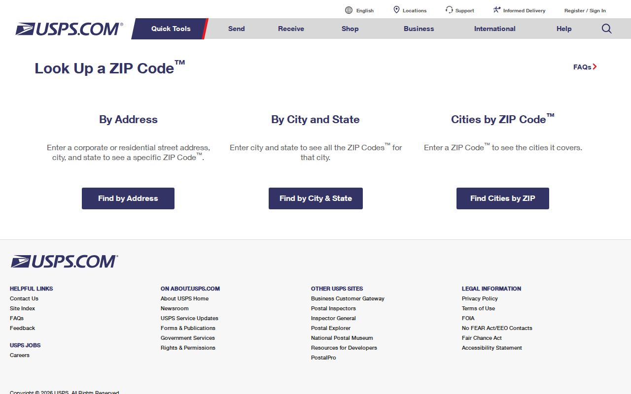
After USPS confirms the route, use the city list and GIS to select the right local record office. A postal match alone does not resolve municipal jurisdiction.
Woodland Voter Data by ZIP
Yolo Elections offers restricted data products rather than a public ZIP-wide resident search. The voter-information form asks for requester name or organization, address, phone or email, requested jurisdiction, district or party, product and format, permitted purpose, identification, signature, date, and a penalty-of-perjury attestation. A qualified request can select a jurisdiction or district and may use a street index or other product, but the form’s security terms control how the file is handled.
| Request field | Type | Required or conditional | ZIP relevance |
|---|---|---|---|
| Requester name and organization | Text | Required for application | Identifies the responsible recipient |
| Jurisdiction, district, or party | Selection | Product-dependent | Narrows the requested geography |
| Product and format | Selection | Required | Chooses file, list, map, or report |
| Permitted purpose | Attestation | Required | Controls whether voter data may be supplied |
| Signature and date | Certification | Required | Accepts use, transfer, and publication restrictions |
The 2026 form describes a Walking List sorted by precinct, street, and house number and a voter information product with vote history. A separate non-confidential form lists an individual lookup at $13 per name and mapping products with different charges. The data covers registered voters and does not include every occupant. The voter-file form screenshot is linked to its official state information page below.
Review California voter-file request rules
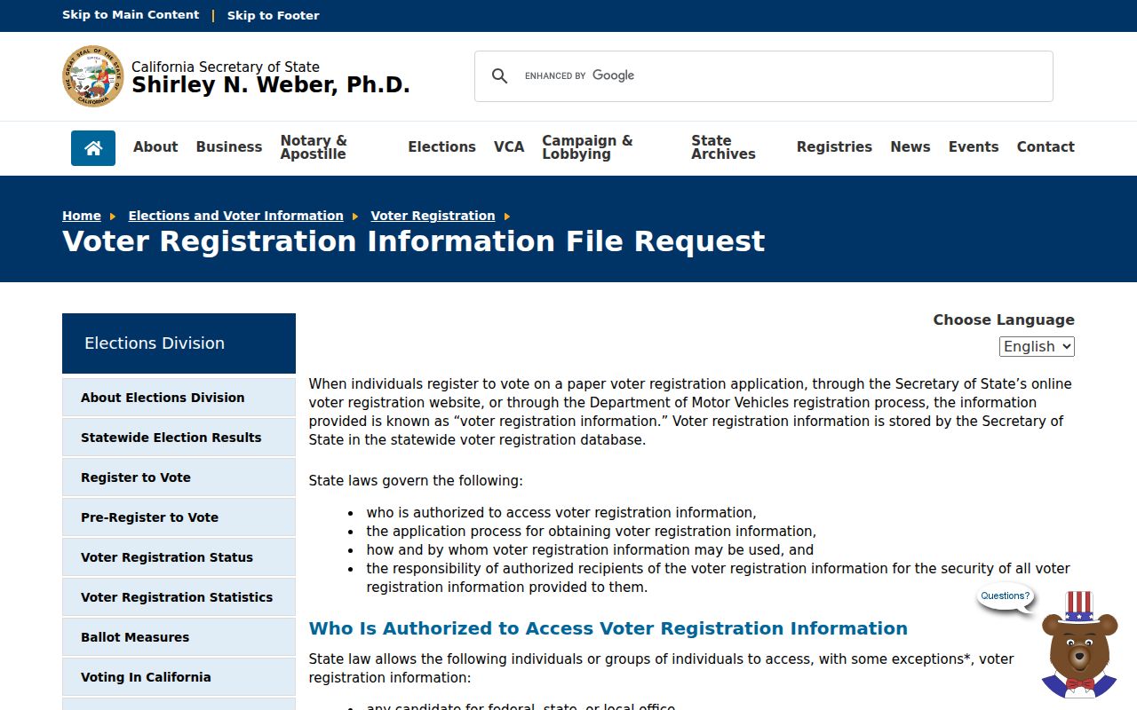
A ZIP-filtered voter product remains a regulated government dataset. It is not a general Woodland ZIP code directory and cannot be published or transferred outside the permitted use.
Woodland ZIP Search Boundaries
The assessor’s public description does not document a ZIP-wide online filter, and the research found no official ZIP realignment year or per-ZIP Woodland population table. The Census QuickFacts Woodland profile supplies citywide context, not a ZIP-by-ZIP resident count. That gap matters. A current city list and USPS lookup are stronger than an old spreadsheet. A map layer may change, a parcel may split, and a long street can cross a ZIP or city line.
For a CPRA request, ask the City of Woodland or Yolo County for an existing address-range, permit, map, or parcel record with a clear date span. The CPRA governs executive-agency records, not court files or restricted voter and vital records. If the goal is street-level names after the ZIP is known, use the address workflow in the Woodland street directory rather than guessing from a postal label.
The practical fallback chain is specific. First verify the complete address with USPS. Next compare the city range list and map the parcel in the GeoPortal or county GIS. Then ask the Assessor counter or telephone line about a known parcel, keeping the owner’s mailing ZIP separate from the situs ZIP. If a voter-file product is relevant, use the Yolo form and state the permitted purpose. For historic households, move to the Archives rather than expecting a current ZIP layer to reach back into Polk or census years.
A ZIP code directory can narrow a search, but it cannot answer every resident question. It does not reveal all occupants, establish city jurisdiction, replace the legal description in a deed, or show that a person is registered to vote. Record the source date and the exact range used so another researcher can reproduce the result when a USPS route, map layer, or city list changes. That repeatable note is especially useful for Spring Lake ranges marked for later determination. Keep postal, municipal, and parcel fields separate.
Woodland ZIP Versus City Lines
ZIP boundaries describe postal delivery. Woodland’s municipal boundary controls city permits, services, zoning, and local records. A “Woodland, CA” postal city can include unincorporated Yolo County, while a parcel inside the city still needs the USPS-approved address and ZIP for mailing. GIS and the city or county street data resolve the mismatch. The Assessor and recorder follow the parcel and legal description, not a neighborhood label.
- ZIP versus ZIP+4
- A five-digit delivery area versus the extra four digits that narrow a deliverable address or route.
- PO-box ZIP
- A ZIP used for post-office boxes or a special mailing arrangement; no such Woodland-only code was verified in the reviewed sources.
- Unique ZIP
- A code assigned to one large institution or specialized delivery point; none was verified for Woodland in the reviewed research.
- Carrier route
- The postal path used to deliver mail within a ZIP, not a city or tax district.
Because no official ZIP realignment year or per-ZIP Woodland population table was located, use the current USPS result and local street list for each address instead of carrying forward an old map assumption.