
Walk a Woodland Street by Address
A Woodland street directory search should move from a typed address to a stable parcel key before it tries to name anyone. The city’s official street list helps normalize accepted street names, address ranges, and ZIP assignments. GIS then locates the parcel. The Assessor roll supplies assessee and mailing information. The recorder connects the latest document to a deed chain. Permits date work at the address. Historical directories and qualified voter products add different kinds of name evidence, each with its own limits.
That order prevents a common error: treating a mailing address, a parcel owner, and a current household as one population. Use a full street address and unit number when present. Capture the APN, legal description, date checked, and source URL. If the address falls outside Woodland’s municipal boundary, send permit or code questions to the county rather than the city.
- Normalize the address against the Woodland street and ZIP list, preserving the unit and range.
- Locate the parcel in the Woodland GeoPortal or Yolo GIS and write down the APN.
- Check the Yolo Assessor roll at the public counter or by phone for assessee, mailing address, exemption, value, and latest recorded document.
- Search the Clerk-Recorder index for the latest deed or related instrument, matching APN or legal description.
- Use a permitted voter-file product or the Archives Polk street section only when the purpose and historical question fit.
The final result should say what the records show and what they do not. That distinction is the core of a reliable Woodland street directory.
Woodland Street Ranges and ZIPs
The City of Woodland’s official street and ZIP list is unusually practical for a street directory because it pairs accepted street names with address ranges. Main Street 1–1199 and Lincoln Avenue 1–1199 are examples in 95695. Liberty Drive 2000–2799 and many eastern or Spring Lake ranges are examples in 95776. The list marks some Spring Lake ranges as still to be determined, so a road name alone is not enough to assign a ZIP or a record custodian.
Normalize prefixes, suffixes, abbreviations, and house-number ranges against the city document before searching. A long street can cross ZIP or municipal lines. A Woodland mailing address can sit in unincorporated Yolo County, where county services rather than city permits apply. Verify the parcel boundary in GIS, then use the situs address for the property trail and the mailing address for the tax-correspondence clue.
Note: A street range is an addressing aid, not evidence that every parcel in the range shares an owner, neighborhood, or household history.
Woodland Assessor Fields
Yolo County does not document an unrestricted public owner-name web search. Its access description points researchers to the public computer and counter at 625 Court Street, plus a telephone service limited to three parcels. That makes the Assessor a real search channel, but not a conventional online residents directory. Begin with a situs address or APN, then record the fields that can connect the parcel to a deed or map.
| Field or control | Type | Required | What it contributes |
|---|---|---|---|
| Parcel / location | Address or APN key | Search-dependent | Finds the assessed parcel and map reference |
| Assessee name | Roll field | Returned field | Names the assessed owner or entity |
| Mailing address | Roll field | Returned field | Shows where assessment mail goes, not occupancy |
| Homeowner exemption | Roll field | Returned if applicable | Possible owner-occupancy clue, not proof |
| Latest recorded document | Roll bridge | Returned field | Points to the Clerk-Recorder index |
Land, improvement, fixture, personal-property, and net taxable values can appear with the parcel. Residential characteristics such as year built and square footage are fee products for most residential parcels. The assessor’s July 1, 2025 schedule lists free front-computer use, $6.75 per parcel for property characteristics, $90 for a radius search, and $123 per hour for specialized research. The fee schedule should be read with the live access page because prices can change.
Woodland GIS Parcel Browsing
The Woodland GeoPortal and Yolo County GIS supply the map side of the street directory. Search or pan to the address, select the subject parcel, and inspect the lot lines, street context, municipal layers, and districts available in the current viewer. Geometry tells you which parcels touch or sit across the road. The assessor record supplies the name. The map itself should not be treated as an owner index.
The GIS screenshot below is linked to the City of Woodland source first. It is a visual reference for the parcel-browse channel, not a fabricated named-person result.
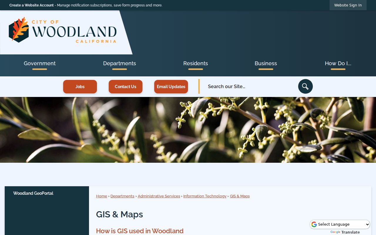
Once a parcel is selected, keep the APN and date checked. Parcel splits and mergers can change the APN, while legal descriptions and subdivision references help preserve continuity across a street’s history.
Woodland Permits by Address
Woodland Community Development’s Online Permitting Services exposes a public inquiry into parcels and certain permits. The research does not document the downstream query labels, so the safe claim is limited: the service can supplement a parcel search with selected project information, not provide an exact all-permit filter table. Construction, addition, reroof, solar, demolition, inspection, and final events can help date a structure when the underlying record is available.
Permit participants are evidence of a project, not proof of who lived at the address. Applicant, contractor, owner, and contact fields can describe a transaction. Code-enforcement files may contain investigative, complainant, or personal information and need a tailored California Public Records Act request. Ask for existing applications, issued permits, inspection history, and final records by street address, APN, permit number, or date span. Plans may carry copyright or security-sensitive limits.
The permit screenshot is connected to the official city inquiry page. It shows the municipal route that complements the parcel and deed trail.
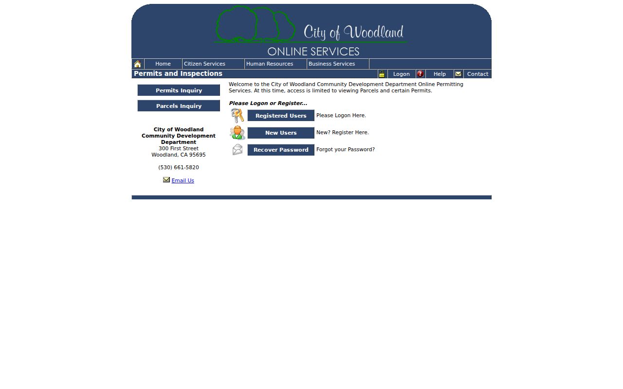
For a postal address outside the city boundary, check county jurisdiction before treating a missing city permit as a missing construction event.
Woodland Deeds Along a Street
The recorder’s general index turns an address-keyed street search into a name-and-instrument search. Start with the Assessor’s latest recorded document. Open the matching index entry, note grantor and grantee roles, recording date, instrument number, and legal description, then match the parcel before moving backward. A deed of trust is a secured financing instrument, not a change in occupancy. A reconveyance releases security. Easements, liens, releases, notices, and trustee documents may explain a parcel event without naming a household.
The Yolo Official Records Search is free to index interactively. Images require the Clerk-Recorder kiosk or an ordered copy. The office says staff do not conduct title searches, and automated collection is prohibited. Use 530-666-8130 for order questions. Mail recording goes to Yolo County Clerk-Recorder, P.O. Box 1130, Woodland, CA 95695. The office’s records begin in 1850, while the web index’s start date is not stated.
When a street number has changed or a parcel has been subdivided, the APN, lot and block, subdivision, and legal description are stronger anchors than the typed address. Keep the execution date separate from the recording date. A Woodland street directory that preserves those distinctions can link current parcels to prior owners without claiming that a deed grantee occupied the property.
Woodland Records by Street
Address-keyed records can be chained, but none is a universal household roll. The Yolo Assessor identifies the assessed parcel and recipient of tax correspondence. City and county GIS show geometry, districts, and surrounding lots. Clerk-Recorder documents show named parties to recorded instruments. Woodland permits add construction history. A qualified Yolo Walking List can be sorted by precinct, street, and house number, while a Polk criss-cross section can show historical occupants. Each source below answers a different street question.
| Record Set | Keeper | What It Shows | Access |
|---|---|---|---|
| Property / tax roll | Yolo Assessor | Assessee, mailing address, APN, values, exemption, latest document | Counter or phone |
| GIS parcel map | City / Yolo GIS | Parcel geometry, street context, districts and layers | Public viewer |
| Deeds and liens | Yolo Clerk-Recorder | Grantor, grantee, instrument type, date, legal reference | Free index; kiosk or copy |
| Walking List | Yolo Elections | Qualified-purpose voters by precinct, street, house number | Application and restrictions |
| Building permits | Woodland Community Development | Selected project type, dates, parcel and named participants | Limited inquiry / request |
The APN is the bridge between the map, assessment roll, permit inquiry, and deed search. The street name is a useful index key, but it can change form as a road extends or a rural route becomes a city address. Keep the legal description and lot or block information when available. For the whole street, repeat the process parcel by parcel instead of assuming that one owner or one ZIP covers the range.
Woodland's Restricted Walking List
California voter data can be street-shaped, but it is not an open public resident directory. A qualified requester can use the Yolo voter-information forms to request products such as a Walking List sorted by home precinct, street, and house number. The form requires the requester’s identity, requested jurisdiction or district, product and format, permitted purpose, signature, and a penalty-of-perjury attestation. The file carries restrictions on resale, transfer, publication, and use.
The 2026 county form describes a Walking List that can show home address, party, phone when available, and seven calendar years of participation. A separate non-confidential request form lists an individual voter lookup at $13 per name, along with GIS home-precinct shapefiles, maps, street indexes, and other products. Those are qualified-purpose channels. They show registered voters, not every person on the street, and confidential Safe at Home voters are excluded.
For a personal registration check, use the Secretary of State’s authenticated My Voter Status tool instead. It is not appropriate to infer a neighbor’s presence from an unsuccessful self-lookup or to use voter data outside the statutory purposes.
Woodland Streets in Polk Directories
The historical street directory is the best way to read a Woodland address backward without rebuilding the full collection catalog. The Yolo Archives Polk finding aid lists exact Woodland volumes from 1939 through 1989, while the broader brochure describes Polk holdings through 1999 and miscellaneous directories from 1898 through 1975, all with gaps. A street or criss-cross section, when present, reverses the usual name lookup: street, number, and occupant or householder.
Photograph or cite the title page, year, page, and abbreviation key before copying an entry. Not every volume has identical sections. A blank address can mean a move, death, omission, renumbering, or nonresponse. Pair a directory street entry with the 1940 or 1950 census, newspaper legal notice, obituary, deed, tax roll, or Sanborn sheet. The Woodland city directories page owns the collection details; the street-level workflow uses them only as the historic occupant layer.
- Parcel
- A mapped unit of land identified by an APN or legal description.
- Situs address
- The physical location used by the assessor, GIS, and permits.
- Plat
- A recorded subdivision map that can preserve lot and block relationships.
- Criss-cross directory
- A street-order directory section that reverses a name-first lookup.
Limits of a Woodland Street Directory
A Woodland street directory can show an assessee, a recorded party, a permit participant, or a registered voter where the law allows the product. It cannot create a complete list of renters, household members, children, unregistered residents, utility customers, delivery customers, or people physically present. DMV addresses are restricted by the federal Driver’s Privacy Protection Act. A homeowner exemption is a clue toward possible owner occupancy, never proof of the current household.
Lawful use. Woodland address records are for lawful personal research, family history, civic understanding, and ordinary block curiosity. Using them to stalk, harass, threaten, or intimidate anyone can violate California Penal Code §646.9 or §653.2 and is prohibited.